|
|
 |
ArcView 3.xx
|
Updated 2002-04-18
|
| ArcView 3.xx |
 |
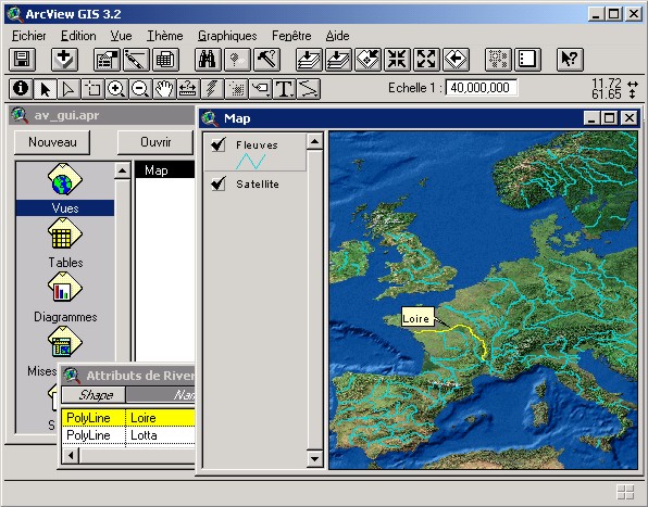
ArcView is the ESRI first level GIS. 3.xx versions, although still sold and used, was replaced by 8 series, in the new ArcGis family.- Legend is always visible in the left of the map: it's easier to learn.
- Format used (shape) is a market standard. It's public (Specifications on ESRI website). CAD formats (dxf, dwg, dgn, ...) are read without conversion. Mosts of others formats could be imported in shapefiles (e00, ArcInfo coverages, agf, mif/mid, ...).
- Price include a programming language, Avenue.
|


